Holderness Coast, UK
Rapid Erosion & Coastal Management
Key Facts Quick Reference
Length
~61 km
Erosion Rate
1-2m / year
Population
~50,000
Geology
Boulder Clay
Major Settlements
Bridlington, Hornsea
Overview
Located in East Yorkshire, the Holderness Coast stretches approximately 61 km from Flamborough Head in the north to Spurn Point in the south. It is renowned as one of Europe's fastest-eroding coastlines, losing an average of 1 to 2 meters of land per year.
Fieldwork Methodology & Data Collection
1. Beach Profiling
Method: Using ranging poles, a clinometer, and a tape measure to record the gradient and shape of the beach from the water's edge to the cliff base at managed (Mappleton) and unmanaged (Great Cowden) sites.
Purpose: To determine how coastal defenses alter beach morphology and sediment accumulation.
2. Sediment Analysis (Pebble Size & Shape)
Method: Systematic sampling of 10 pebbles every 5 meters along the beach profile. Measuring the long axis with calipers and assessing angularity using the Cailleux scale.
Purpose: To find evidence of attrition and longshore drift moving sediment southwards.
3. Groyne Drop Measurements
Method: Measuring the distance from the top of a groyne to the sand level on both the updrift (north) and downdrift (south) sides.
Purpose: To prove the direction and rate of longshore drift.
Analysis, Findings & Conclusions
Fieldwork data clearly demonstrates the severe impact of both natural processes and human intervention on the Holderness Coast.
- Longshore Drift: Groyne drop measurements showed up to a 1.5m difference in sand height, confirming strong southward sediment transport.
- Terminal Groyne Syndrome: Beach profiles revealed a wide, protective beach at Mappleton (managed), but a severely depleted, narrow beach at Great Cowden (unmanaged, downdrift), leading to accelerated cliff erosion.
- Conclusion: Hard engineering strategies successfully protect localized areas but disrupt the natural sediment cell, exacerbating erosion further down the coast. A holistic, shoreline management plan is critical.
Maps and Visuals
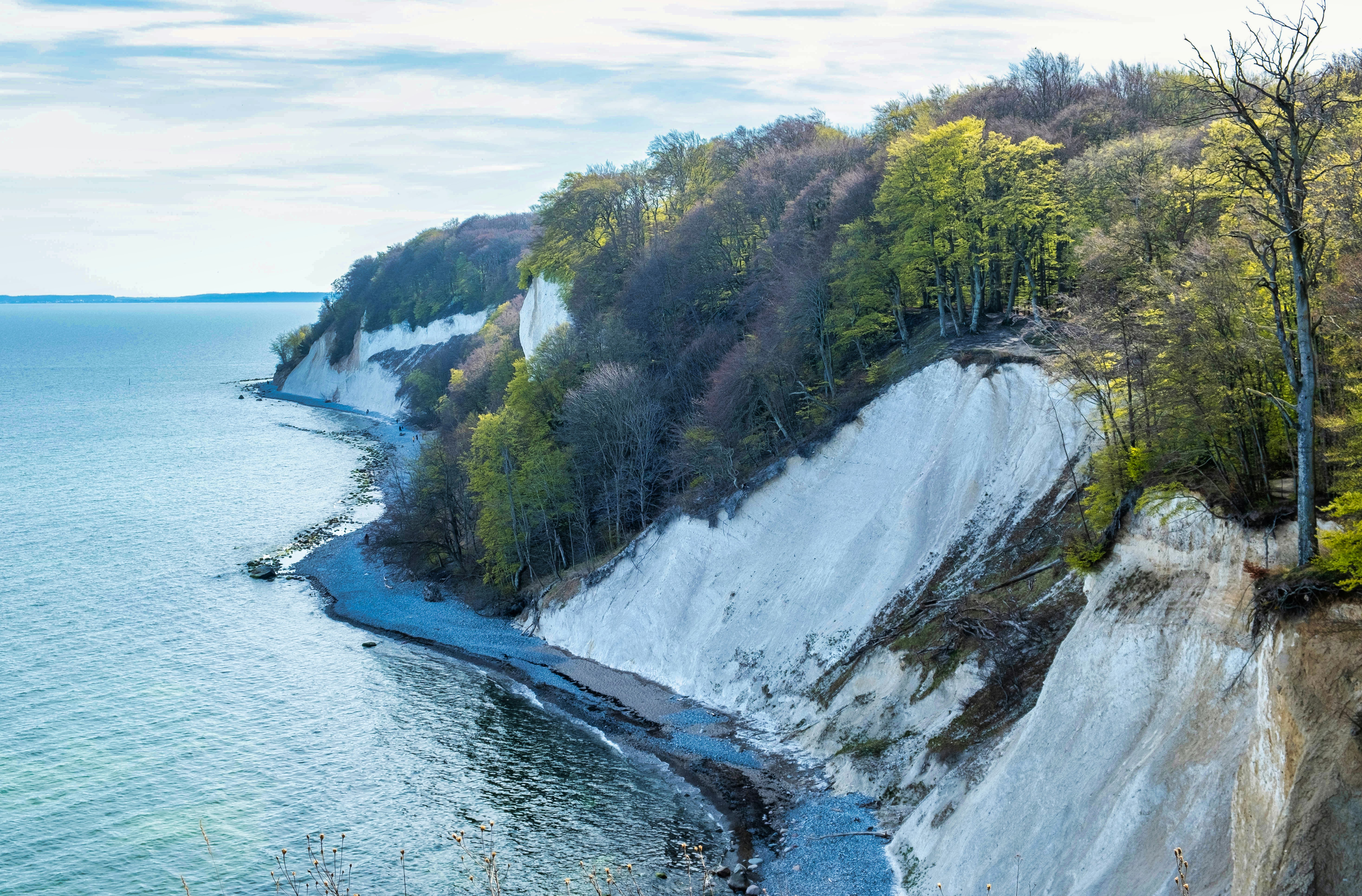
Holderness Coast - Coastal Features and Erosion Zones
Coastal features and erosion patterns along the Holderness coastline