Distance & Scale Calculator
Master UK Map Measurements
The ultimate interactive hub for understanding OS maps. Learn to calculate real distances, convert scale ratios, and navigate the UK with confidence.
Interactive Distance Calculator
Convert map measurements to real-world distances instantly.
Enter a map distance and select a scale to see the real-world distance.
What is Map Scale?
Map scale is the ratio between a distance on a map and the corresponding distance in the real world. Because we can't draw a map at life-size, we shrink the world down by a specific mathematical ratio.
Why Learn Distance & Scale?
- Exam Relevance: Essential for KS3 and GCSE Geography map skills papers.
- Fieldwork Applications: Crucial for planning routes and measuring study areas.
- Career Relevance: Foundational skill for surveying, urban planning, and logistics.
Scale Ratio Visualization
What You'll Learn
- Understand scale ratios (1:25,000, 1:50,000, 1:250,000)
- Calculate real distances from map measurements
- Use scale bars effectively for quick estimation
- Convert between different map scales
- Apply knowledge to real UK locations and landscapes
- Solve complex exam-style geography questions
How to Use This Hub
Review the Basics (5 mins)
Start with the interactive diagrams to understand how scale ratios work.
Explore UK Examples (10 mins)
See how scale applies to real places like the Lake District and London.
Practice & Test (15 mins)
Choose your difficulty level and tackle the 6 different question types.
Six Question Types Overview
Master every aspect of distance and scale with our comprehensive question bank.
Calculate Real Distance
Convert map measurements to real-world kilometres or miles.
"If a road is 4cm on a 1:50,000 map, how long is it in reality?"
Use Scale Bar
Measure against a visual scale bar to estimate distances.
"Using the scale bar below, estimate the length of the lake."
Identify Correct Scale
Choose the right map scale for different activities.
"Which scale is best for planning a walking route?"
Scale Ratio Conversion
Convert between ratios and word scales (e.g., cm to km).
"Convert 1:250,000 into a statement of cm to km."
Real UK Distance Estimation
Estimate travel distances between major UK landmarks.
"Estimate the distance from London to Manchester."
Grid Square Counting
Calculate area using 1km² OS map grid squares.
"How many full grid squares does the forest cover?"
Real UK Examples Showcase
See how scale applies to famous UK landscapes and routes.
London to Manchester
Major national route connecting the South and North West. Best viewed on a small-scale road map.
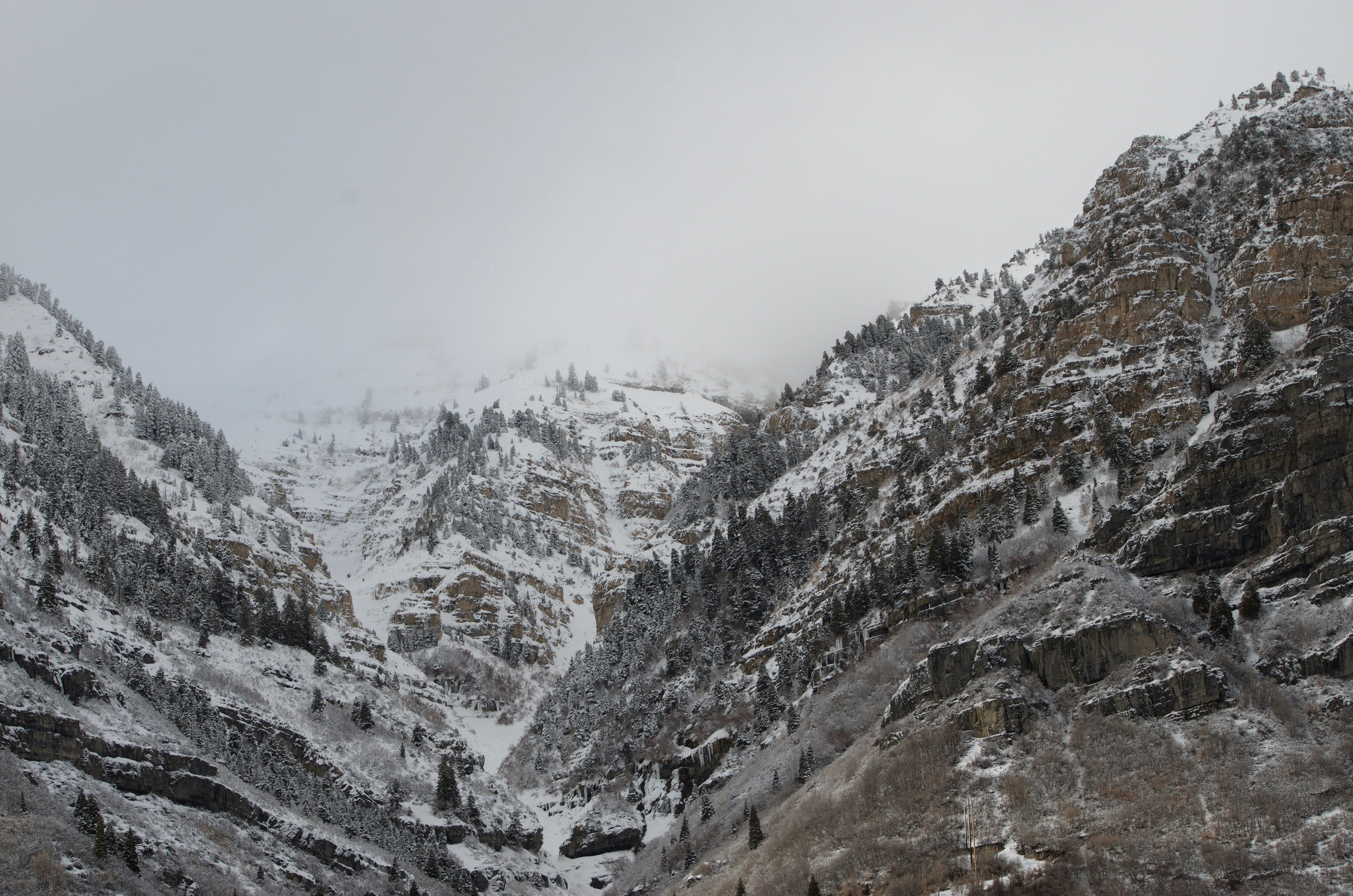
Lake District National Park
Windermere to Ambleside is ~15km. Keswick to Grasmere is ~20km. Requires detailed maps for navigation.
Scottish Highlands
Vast wilderness requiring multiple map scales for long-distance hiking routes like the West Highland Way.
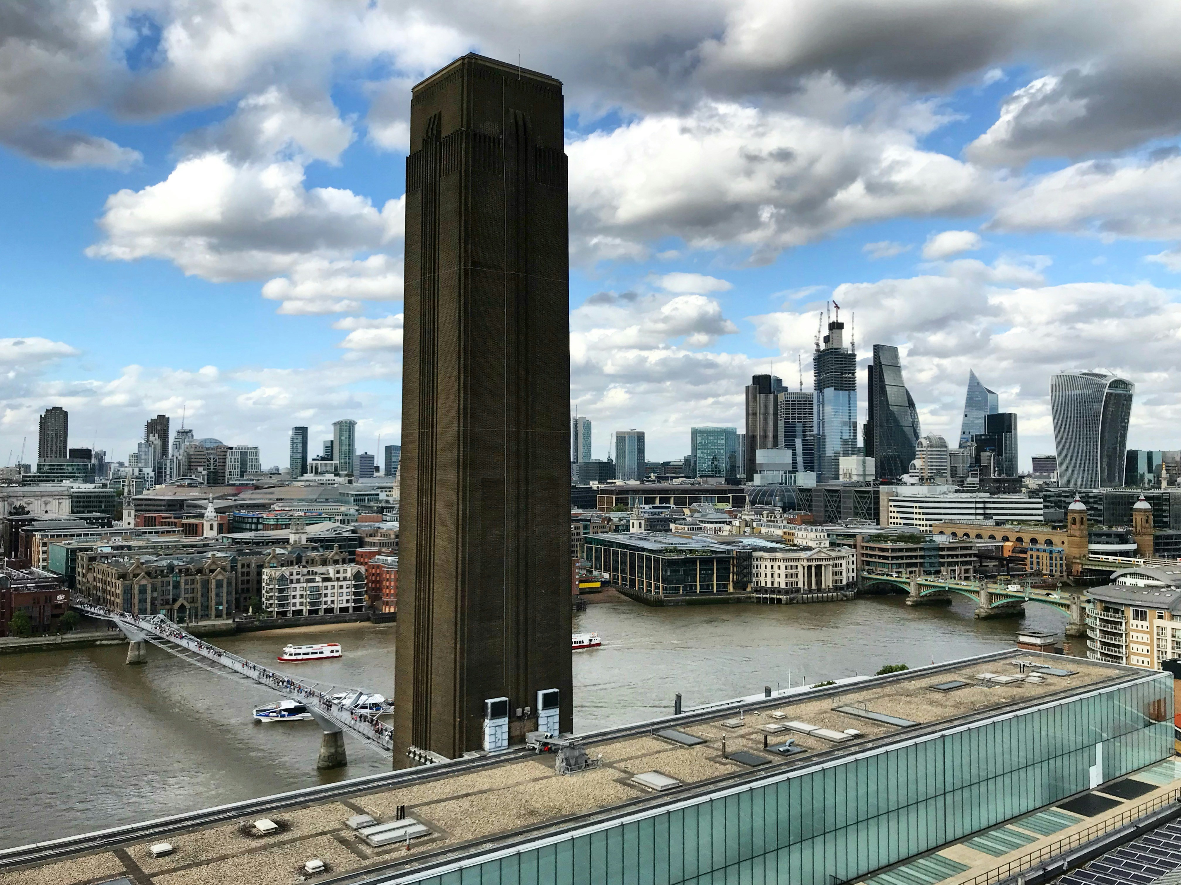
Thames Valley
Following the River Thames through multiple settlements. A 1:50,000 scale provides a good balance of detail.
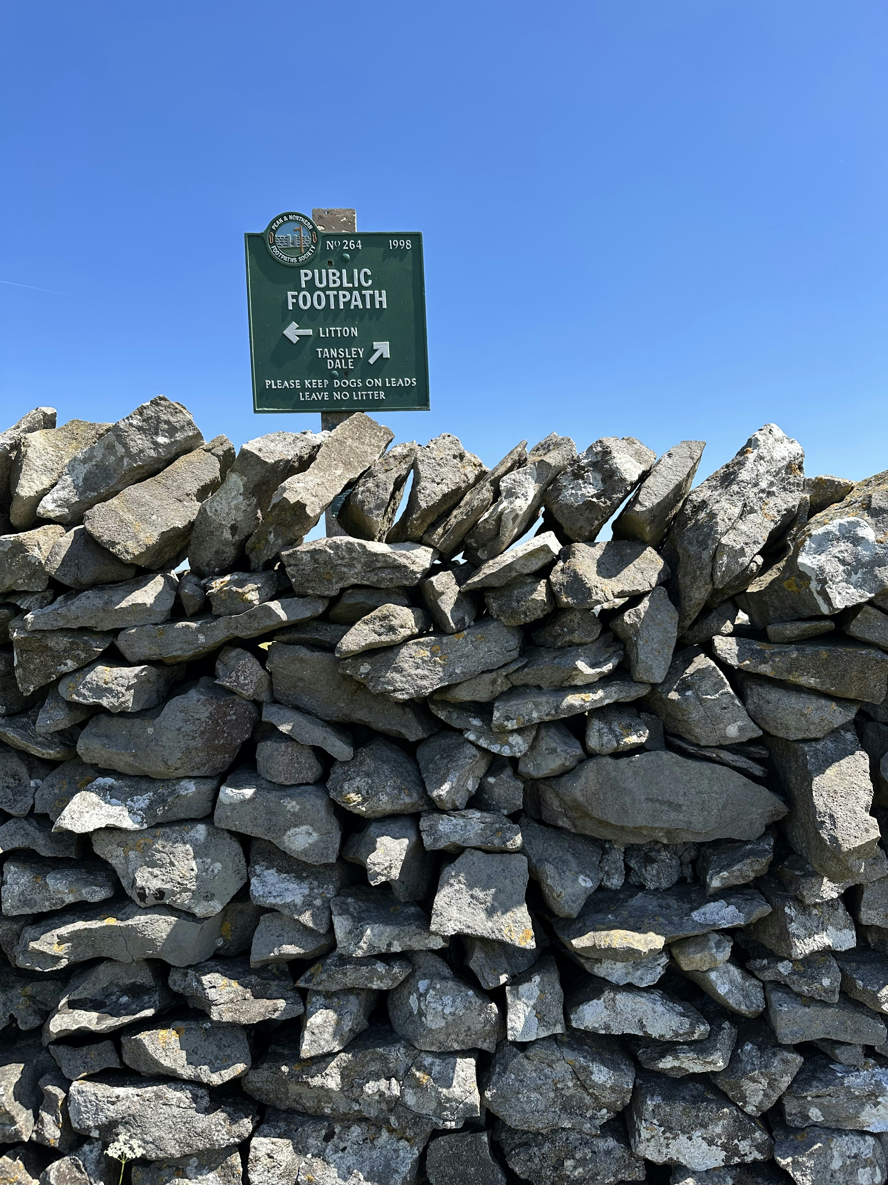
Pennine Way
Famous walking route requiring highly detailed 1:25,000 Explorer maps to navigate featureless moorland.
Key Features Highlight
Everything you need to master map measurements in one place.
Interactive Tools
Distance Calculator, Scale Conversion Tool, and Scale Bar Measurement Tool with real-time feedback.
Learning Resources
Step-by-step guides, video tutorials, downloadable worksheets, and worked examples.
Progress Tracking
Score tracking, improvement visualization, weak area identification, and personalized recommendations.
Exam Preparation
Exam-style questions, model answers, common mistakes guide, and time management tips.
Difficulty Level Guide
Choose the right starting point for your learning journey.
Intermediate / KS3
- Multiple scales (1:25k, 1:50k)
- Scale conversion basics
- Complex calculations with decimals
- Recommended session: 10-15 mins
Ready to Master Map Scale?