Coordinates Lab | Master UK Map Coordinates & Location Systems
Your ultimate interactive hub for mastering latitude, longitude, OS grid references, and bearings. Perfect for KS2, KS3, and GCSE geography students.
Interactive Tools
Calculate, convert, and explore geographical data in real-time with our suite of interactive learning tools.

Grid Reference Locator
Visualize OS grid references on a map and get detailed coordinate data.

Bearing Calculator
Calculate exact bearings and distances between two coordinates with a visual compass.

Coordinate Converter
Convert seamlessly between Decimal Degrees and DMS formats in real-time.
Advanced Analysis Tools
Deep dive into complex geographical data with interactive visualizations.
Climate Graph Analyzer
Analyze temperature and precipitation data to identify climate zones.
Ecosystem Food Web
Build and explore complex food webs to understand energy flow.
Analyze Population Data
Explore population pyramids, demographic transitions, and analyze population statistics.
Practice Question Types
Choose a topic to start practicing. Questions adapt to your chosen key stage level.
Read Grid References
Practice finding locations on an OS map using 4 and 6-figure grid references.
What feature is located at grid reference TQ 123 456?
Write Grid References
Identify the correct grid reference for a specific feature on the map.
Give the 6-figure grid reference for the church with a spire.
Calculate Bearings
Measure the angle between two points to determine direction.
What is the bearing from the station to the school?
Latitude & Longitude
Work with global coordinates in degrees, minutes, and seconds.
Which city is located at 51.5°N, 0.1°W?
Distance Calculations
Use map scales to calculate real-world distances between coordinates.
How far is it in km from point A to point B?
Real UK Location Analysis
Apply coordinate skills to real-world UK geography scenarios.
Describe the location of Manchester relative to London using bearings and distance.
Real UK Examples Showcase
Contextualize learning with detailed case studies from across the United Kingdom.
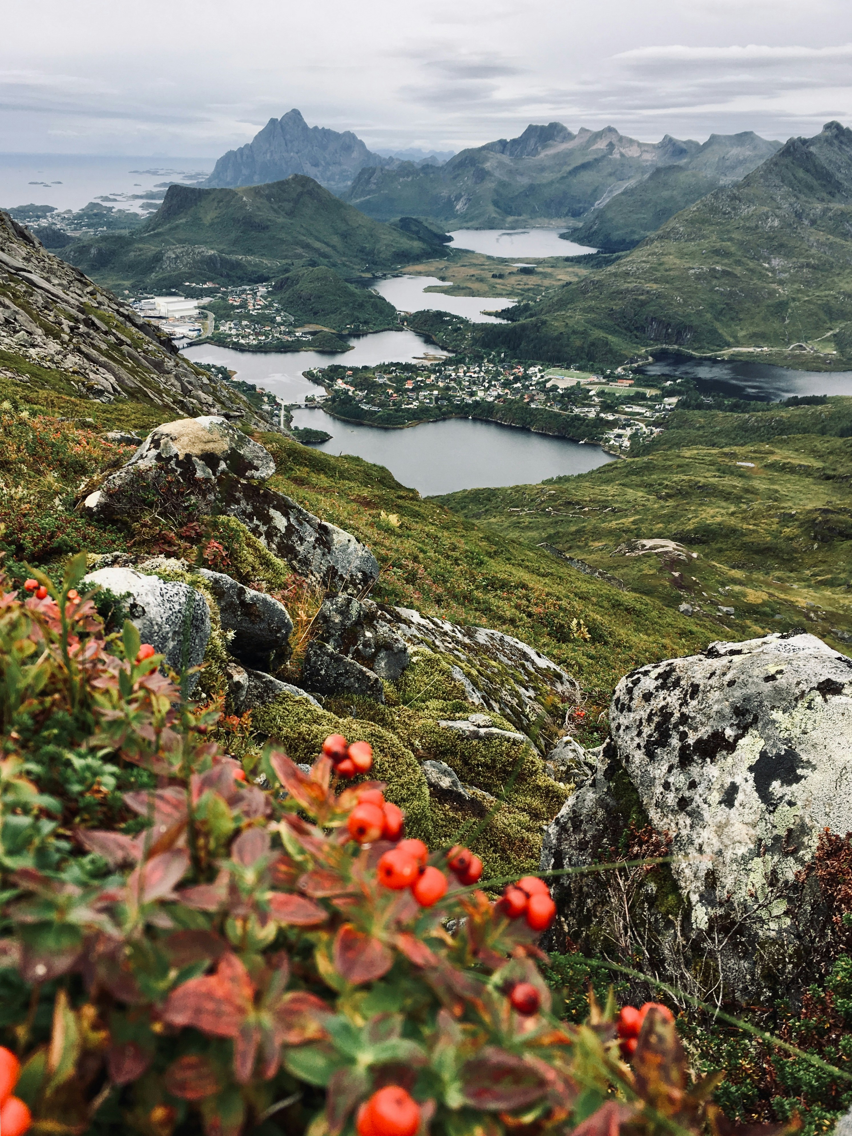
Lake District
Glaciated landscapes, ribbon lakes, tourism pressures, conservation
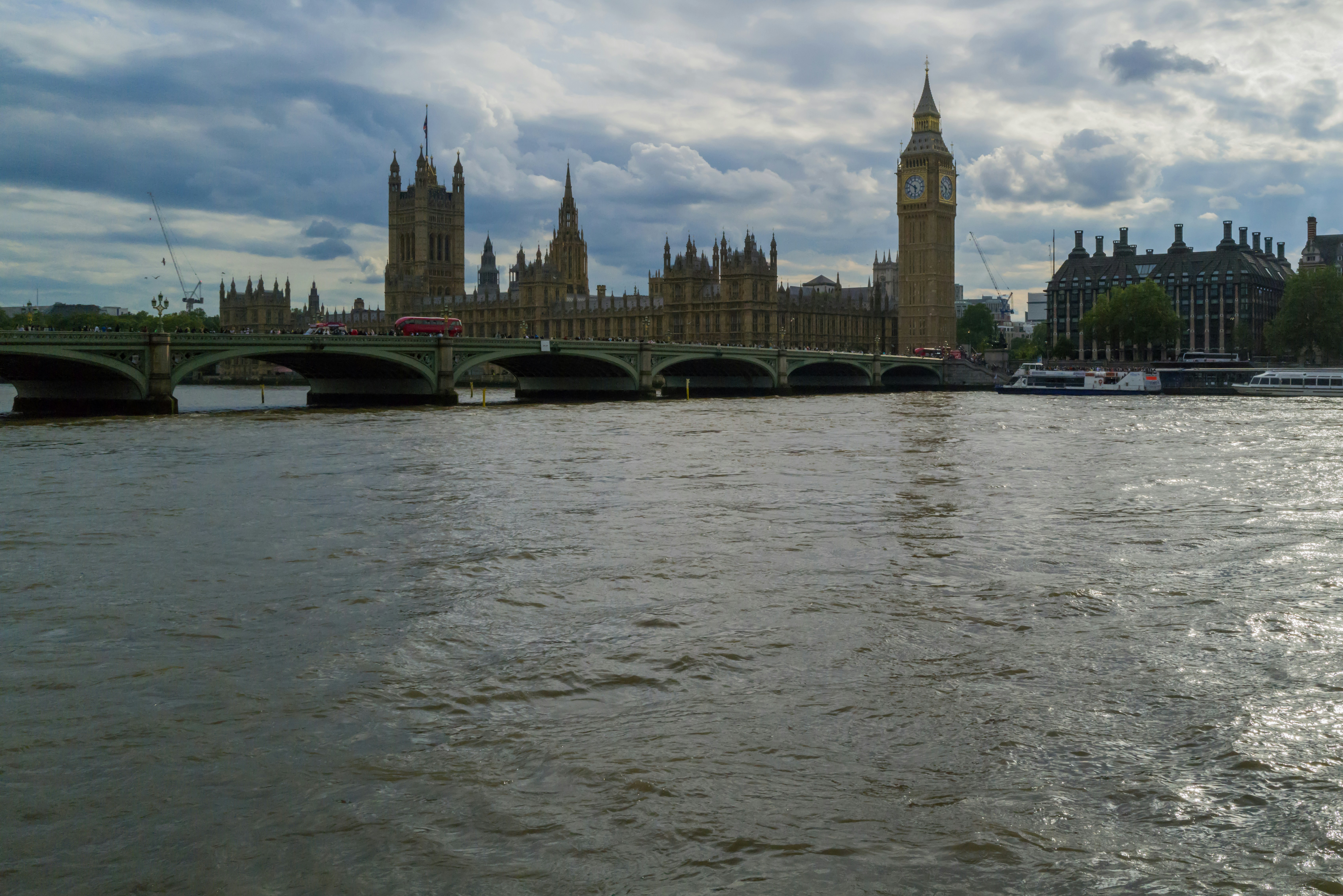
London
Global financial center, cultural diversity, urban regeneration
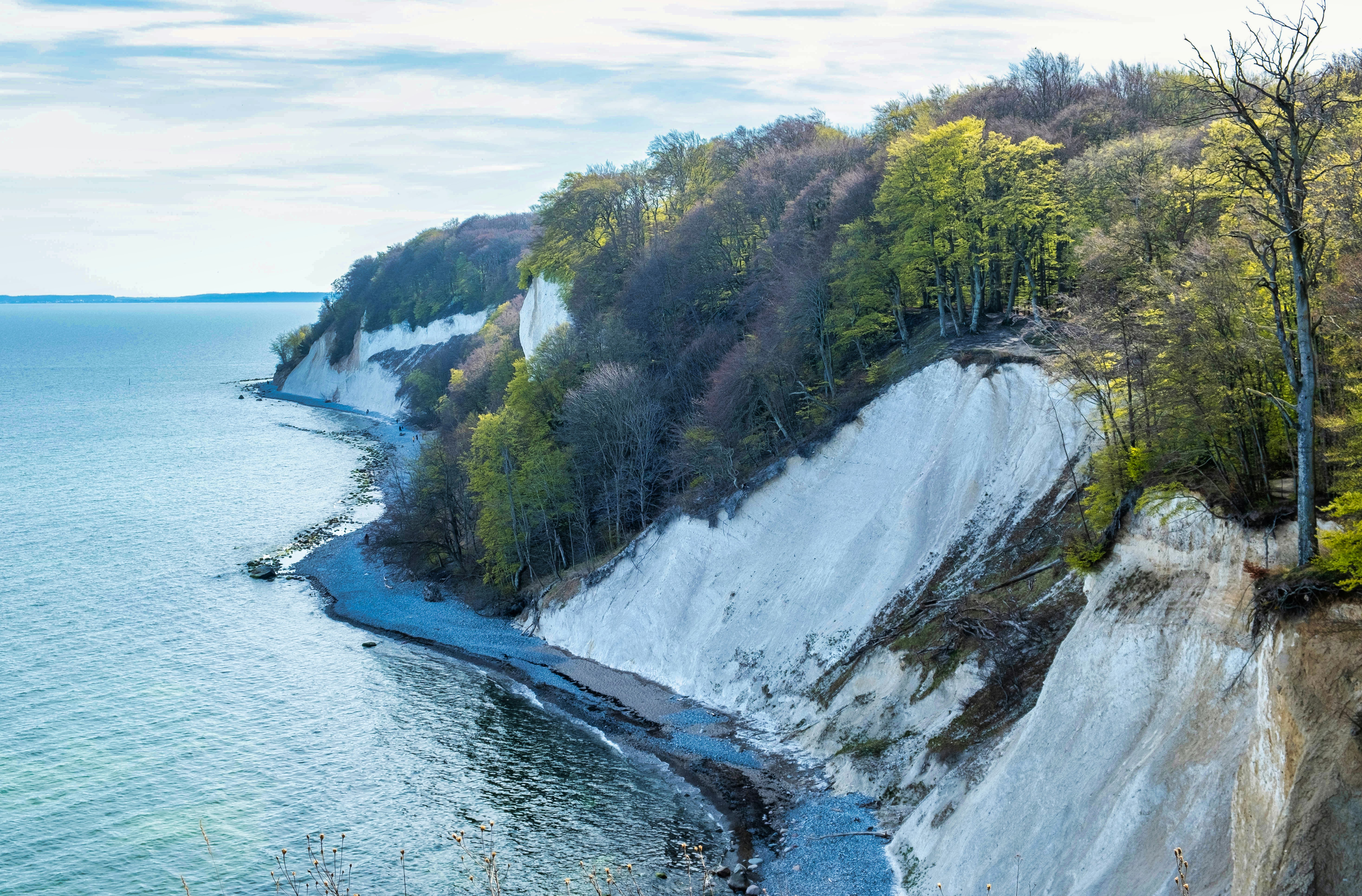
Holderness Coast
Rapid coastal erosion, soft boulder clay, coastal management conflicts

Manchester
Industrial heritage, MediaCityUK, university hub, Northern Powerhouse
Coordinate Systems Explained
Understand the core concepts behind the different ways we pinpoint locations on Earth and on maps.
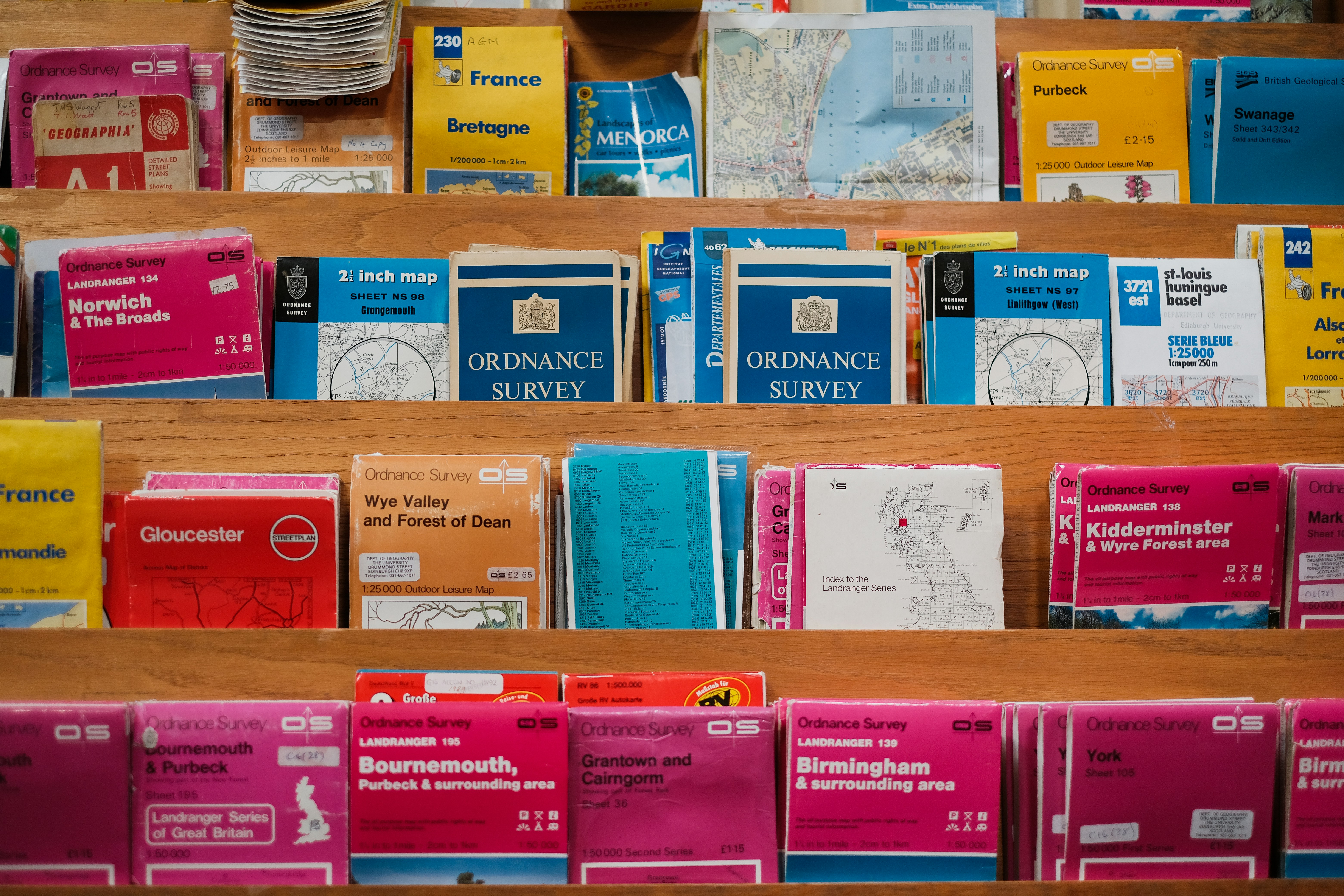
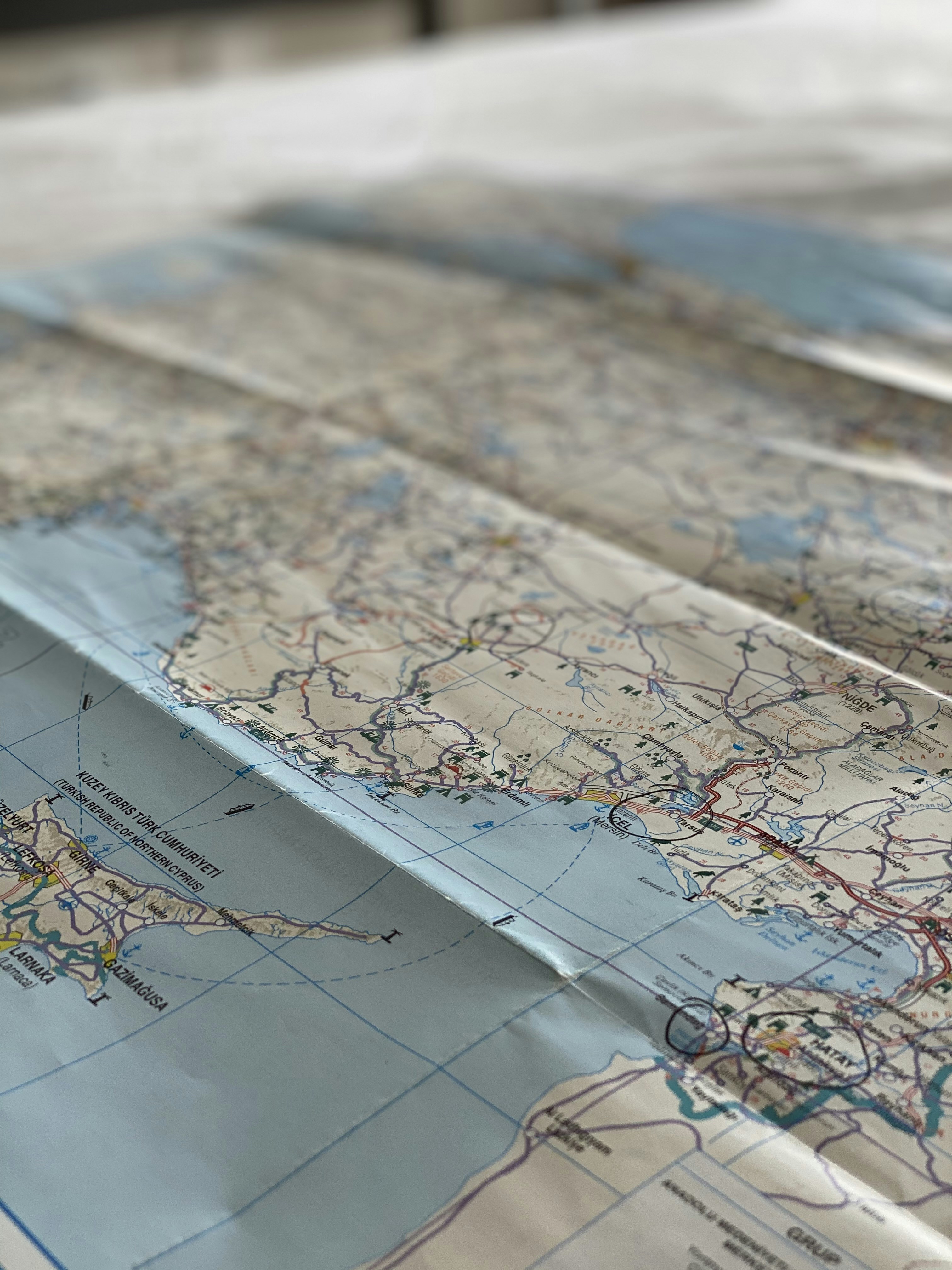
UK OS Grid System
The Ordnance Survey National Grid is a system of geographic grid references used in Great Britain. It divides the country into 100km squares, each assigned a two-letter code (e.g., TQ for London).
- 4-Figure Grid References: Identify a 1km x 1km square. Useful for general areas.
- 6-Figure Grid References: Identify a 100m x 100m square. Used for precise locations.
- Always read "Along the corridor, then up the stairs" (Easting then Northing).
Latitude & Longitude
A global coordinate system that enables every location on Earth to be specified by a set of numbers, letters, or symbols.
- Latitude: Horizontal lines measuring distance North or South of the Equator (0°).
- Longitude: Vertical lines measuring distance East or West of the Prime Meridian (0°) in Greenwich, London.
- Measured in Degrees (°), Minutes ('), and Seconds (").
Bearings
A bearing is an angle, measured clockwise from north, used to determine the direction of one point relative to another.
- Always measured clockwise from North (0°).
- Always written as three digits (e.g., 045° for North-East).
- True North vs Magnetic North: Maps use Grid North, while compasses point to Magnetic North. The difference is called magnetic variation.
Common Mistakes & How to Avoid Them
Don't lose marks in your exams! Watch out for these frequent errors when studying climate and biomes.
Confusing Weather and Climate
Saying 'the climate today is rainy' instead of 'the weather today is rainy'.
Weather is short-term (day-to-day). Climate is long-term (average over 30+ years). Remember: 'Climate is what you expect, weather is what you get.'
Misidentifying Biomes
Assuming all deserts are hot, or confusing savannas with temperate grasslands.
Deserts are defined by low rainfall, not high temperature (e.g., Antarctica is a desert). Savannas are tropical (warm year-round), while temperate grasslands have cold winters.
Incorrect Climate Zone Classification
Thinking the UK has a polar climate because it snows sometimes.
The UK is Temperate Maritime. Look at the annual averages, not extreme weather events, to determine a climate zone.
Misunderstanding Food Chains
Drawing arrows pointing from the predator to the prey.
Arrows in a food chain represent the flow of energy. They must point FROM the organism being eaten TO the organism that eats it (e.g., Grass → Rabbit → Fox).
Oversimplifying Climate Change
Stating that global warming just means everywhere gets hotter.
Climate change causes extreme weather, shifts in precipitation patterns, and can even make some areas colder (e.g., if ocean currents like the Gulf Stream are disrupted).
Frequently Asked Questions
Find answers to common questions about BritGeoHub, our features, pricing, and how we support geography education.
Still have questions?
Can't find the answer you're looking for? Our support team is here to help you get the most out of BritGeoHub.
Key Terms Glossary
Master the geographical vocabulary needed for your exams.
Adaptation
A physical or behavioral characteristic that helps an organism survive in its environment.
Biome
A large naturally occurring community of flora and fauna occupying a major habitat, e.g., forest or tundra.
Climate
The long-term average of weather conditions in a specific region, typically measured over 30 years.
Climate Zone
A large area of Earth with a particular pattern of weather.
Deciduous
Trees or shrubs that shed their leaves annually, usually in autumn.
Ecosystem
A biological community of interacting organisms and their physical environment.
Evergreen
A plant that retains green leaves throughout the year.
Food Chain
A hierarchical series of organisms each dependent on the next as a source of food.
Food Web
A system of interlocking and interdependent food chains.
Permafrost
A thick subsurface layer of soil that remains frozen throughout the year, occurring chiefly in polar regions.
Precipitation
Any form of water - liquid or solid - falling from the sky (rain, snow, sleet, hail).
Temperate
A region or climate characterized by mild temperatures.
Tropical
Relating to the region between the Tropic of Cancer and the Tropic of Capricorn, characterized by hot weather.
Weather
The state of the atmosphere at a place and time as regards heat, dryness, sunshine, wind, rain, etc.