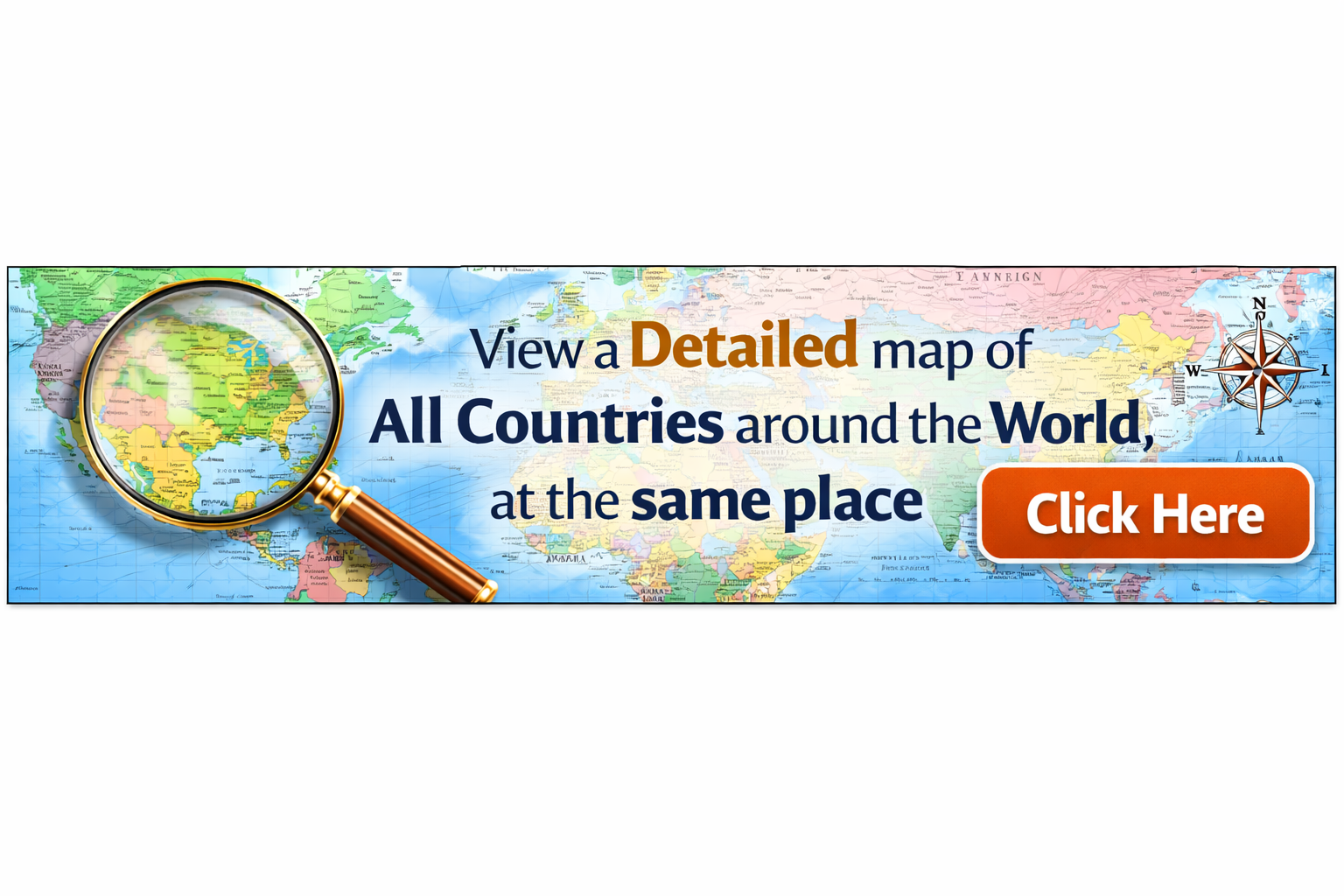
Geography Tools &
Interactive Resources
Curriculum-aligned interactive tools for KS2, KS3, GCSE, and A-level. Master map skills, analyze data, and explore physical and human geography.
Quick Start Guide
Not sure where to begin? Choose your level to find the most relevant tools for your studies.
Tool Directory
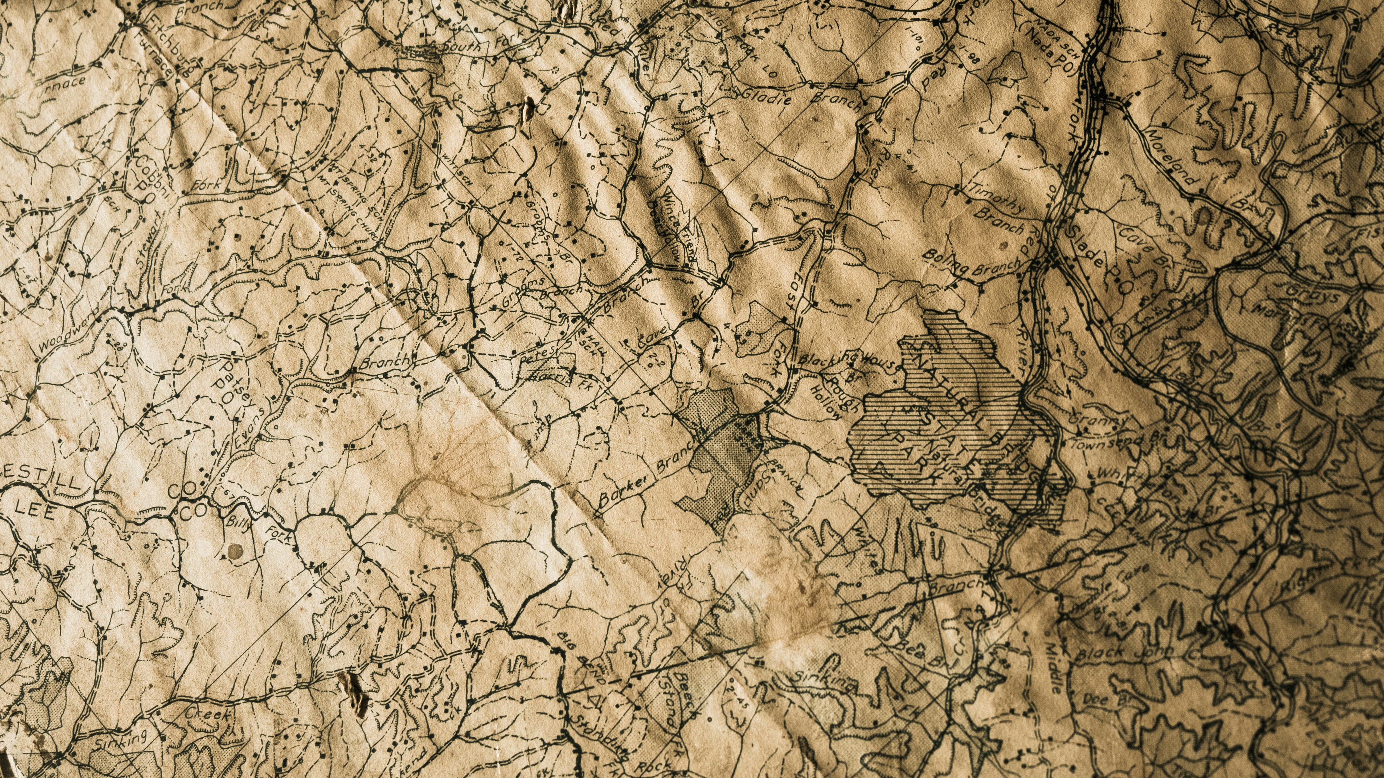
OS Map & Grid Reference Trainer
Master four and six-figure grid references, OS symbols and contour lines. Practice with interactive maps and difficulty levels from KS2 to GCSE.
Distance & Scale (UK)
Convert map distances to real-world measurements using OS scales. Perfect for exam-style questions and understanding scale on 1:25,000, 1:50,000 and 1:250,000 maps.
Area & Population Density
Calculate population density and explore settlement patterns across the UK. Understand how density affects land use and human geography.
Coordinates Lab
Convert between decimal and degrees-minutes-seconds coordinates. Explore latitude, longitude, hemispheres and time zones with interactive practice.
Climate & Biomes Explorer
Discover climate zones and biomes around the world. Compare UK regions with tropical rainforests, deserts, temperate forests and more.
Physical Processes Studio
Interactive diagrams of rivers, coasts, tectonic plates and the water cycle. Step through erosion, deposition, plate boundaries and weather systems.
Human Geography Hub
Explore settlements, land use, economic sectors and resources. Understand urbanisation, migration, development and globalisation with UK and global examples.
Data & Graphs Lab
Create bar charts, line graphs and pie charts. Calculate mean, range and percentage change using real UK geography datasets.
Fieldwork Planner
Plan, record and reflect on geography fieldwork. Download data collection templates and explore virtual fieldwork using online maps and 360° views.
Daily Geography Challenge
Test your knowledge with daily UK and world geography questions. Build your streak and earn badges across KS2, KS3 and GCSE difficulty levels.
Lessons & Homework Planner
Organise your geography learning with a weekly planner. Link lessons to BritGeoHub tools and track your homework tasks.
Teacher Activity & Worksheet Generator
Generate custom geography worksheets and activities in seconds. Choose key stage, topic and difficulty to create exam-style questions.