The Lake District, UK
Glaciated Landscapes & Tourism Management
Key Facts Quick Reference
Area
2,362 km²
Population
~42,000
Highest Peak
Scafell Pike (978m)
Major Lakes
Windermere, Derwent
Annual Visitors
40+ Million
Overview
Located in Cumbria, North West England, the Lake District is a mountainous region and National Park known for its stunning ribbon lakes, rugged fell mountains, and historic literary associations. Covering 2,362 km², it is the largest National Park in England and a designated UNESCO World Heritage site.
Fieldwork Methodology & Data Collection
1. Footpath Erosion Surveys
Method: Measuring the width and depth of footpaths (e.g., on Helvellyn or Catbells) at regular 50m intervals using a tape measure and ranging poles. Assessing vegetation cover using quadrats adjacent to the path.
Purpose: To quantify the physical impact of high visitor numbers on fragile upland ecosystems.
2. Microclimate Measurements
Method: Using digital anemometers, thermometers, and hygrometers to record wind speed, temperature, and humidity at different altitudes and aspects (north vs. south-facing slopes).
Purpose: To understand how relief and topography influence local weather patterns.
3. Honeypot Site Questionnaires
Method: Surveying tourists in Bowness-on-Windermere regarding their mode of transport, distance traveled, and spending habits.
Purpose: To assess the economic benefits versus environmental costs of tourism in concentrated areas.
Analysis, Findings & Conclusions
Data collected from the Lake District illustrates the delicate balance required in National Park management.
- Erosion Patterns: Footpath width increased by up to 300% in areas with poor drainage and high footfall, leading to severe vegetation loss and soil degradation.
- Microclimates: Temperature dropped by an average of 1°C per 100m of ascent (lapse rate), with wind speeds doubling on exposed ridges compared to valley floors.
- Conclusion: While tourism is vital for the local economy, physical fieldwork proves that unmanaged access causes severe environmental damage. Initiatives like "Fix the Fells" are essential for sustainable landscape preservation.
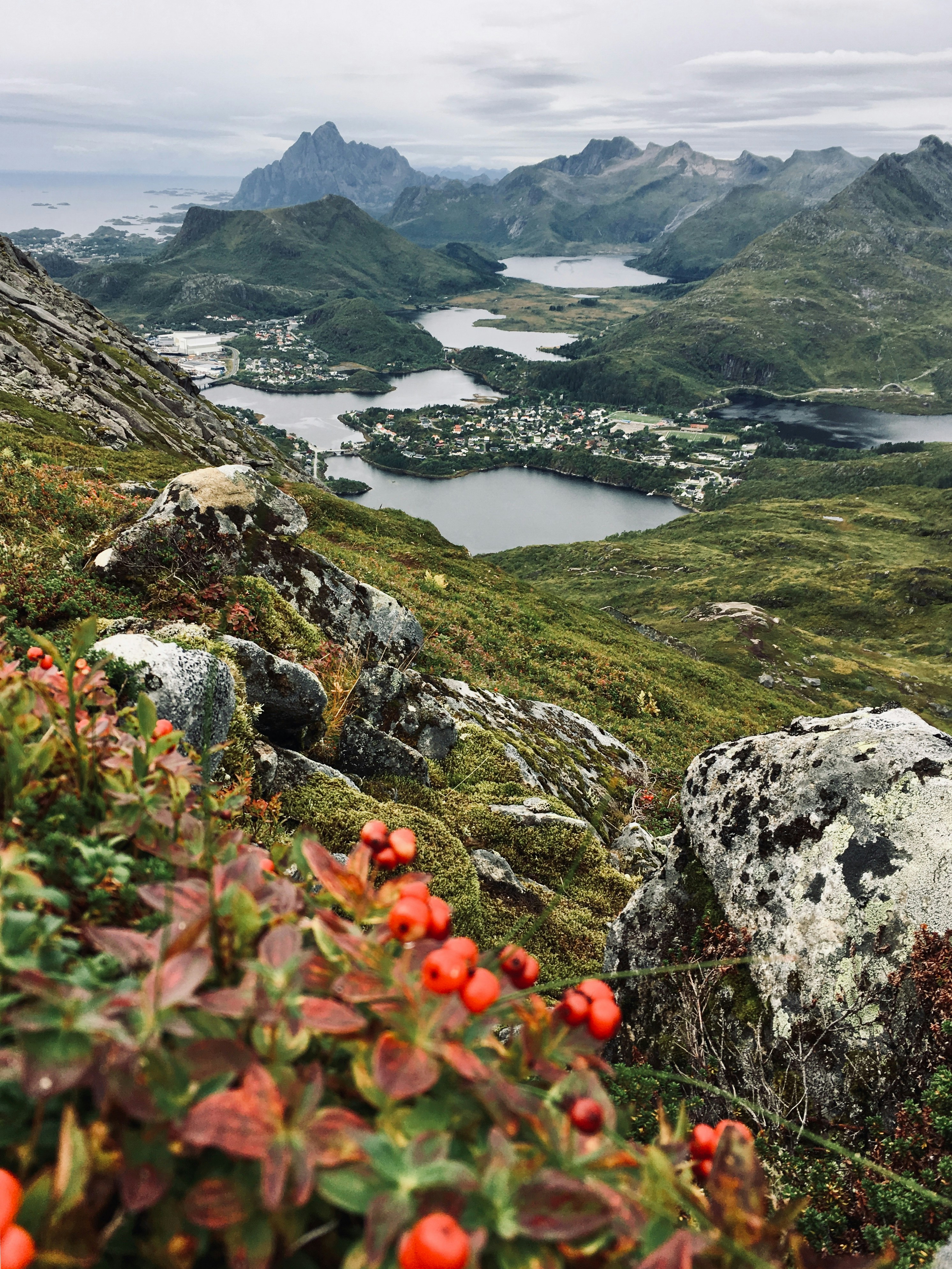
Maps and Visuals
Lake District Topographic Map - Mountains, Valleys, and Lakes
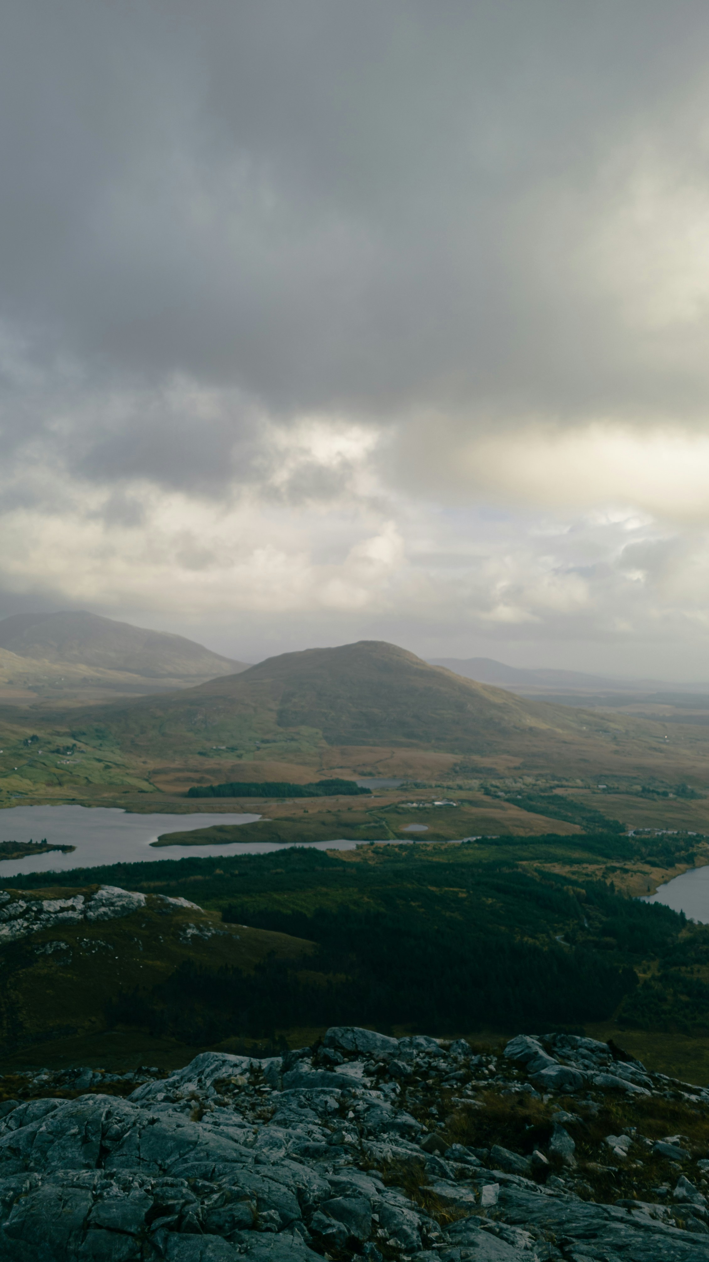
Rugged mountain terrain and deep valleys characteristic of the Lake District